
Winslow Township ZIP Code Coverage
Winslow Township is a Camden County municipality with several postal city labels. The verified entries below are local or official address uses, not a claim that each postal area precisely outlines a municipal neighborhood. No official municipal ZIP-boundary export or complete USPS machine-readable boundary list was found in the research. That gap matters. A ZIP is a delivery construct, while the County records systems use municipality, street, parcel, and legal identifiers.
| ZIP | Areas covered | Post office or postal label | Record-check note |
|---|---|---|---|
| 08004 | Verified Atco local use | Atco | South County Regional Branch uses this label; validate the delivery address. |
| 08009 | Verified Township school address use | Berlin | A Berlin label does not make the parcel a Berlin municipal record. |
| 08018 | Cedar Brook local context | Cedar Brook | Confirm the physical address; County parcel tools have no ZIP filter. |
| 08037 | Blue Anchor and Braddock postal context | Hammonton / Braddock context | Use street and parcel details for municipal placement. |
| 08081 | Township school and polling-community geography | Sicklerville | A major local label, not a separate municipal record system. |
| 08089 | Historical Society and local community context | Waterford Works | Validate an exact address near Waterford Works or Chesilhurst labels. |
| 08095 | Government and local postal reference use | Winslow | Research does not settle every delivery classification; use USPS for the address at hand. |
A complete street address is the way to resolve the table, not a broad assumption about a town name. The Township municipal complex, for example, uses a Braddock 08037 address even though that postal wording is not the Township’s legal name. Note: Postal labels help route mail, but they do not name the custodian of property or local-government records.
Winslow ZIP Labels
Atco, Berlin, Cedar Brook, Braddock, Sicklerville, Waterford Works, and Winslow are all meaningful local labels in the Township records landscape. Historical material can add Blue Anchor, Ancora, Tansboro, Albion, New Brooklyn or Russelltown, Bates Mill, Elm, Wilton, and Williamstown Junction. Preserve the wording that appears in a deed, newspaper, map, or directory. Then use the County map to establish the current municipality and parcel rather than rewriting the old place name into a modern postal label.
That is especially useful for family and property history. Winslow’s hamlets grew around rural land, old routes, and glass-making communities. A record may describe the place more accurately with a hamlet, a legal block and lot, or a historic map reference than with a ZIP. The County Library’s local-name reference and the Township’s map channels are practical fallbacks when an address string does not resolve cleanly.
Validate a Winslow ZIP Code
Use the USPS address lookup with the full delivery address before sending mail or attaching a postal label to a local record. A Census ZCTA is a statistical approximation, not a municipal boundary. The USPS result answers a delivery question. It does not replace the County’s parcel tools, establish property ownership, or decide whether the address is within Winslow Township government jurisdiction.
The USPS address lookup screen is the first step for a Winslow Township postal search because it validates a specific delivery address.
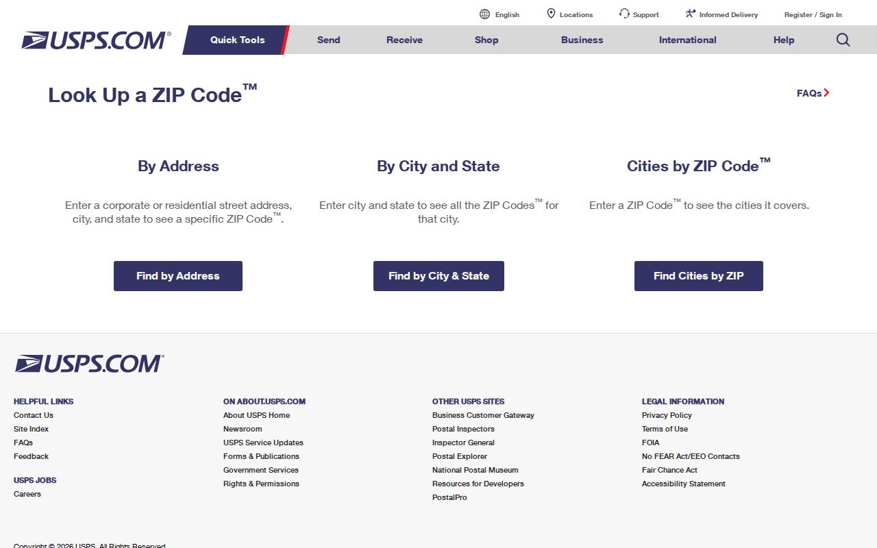
After USPS confirms the delivery information, use the physical street in the assessment hub and GIS. This helps avoid taking a postal label from Berlin, Waterford, Hammonton, or a nearby Gloucester County location and assigning it to the wrong municipal records trail.
Find Residents in a Winslow ZIP
A ZIP narrows an address question, but it does not create a ZIP-wide public property or resident roll in Winslow Township. The County assessment hub and GIS do not offer a ZIP filter. Their working fields are municipality, property or street, owner, block and lot, and PIN. The responsible approach is address-first: validate the delivery label, confirm the Township parcel, then use the appropriate record for the question, such as an assessment record, recorded document, or a narrowly requested existing file.
- Enter the complete delivery address in USPS address lookup and retain the returned postal information.
- Set the County assessment hub’s Town Filter to Winslow Township, then search Property or the known street. Review Property Municipality in the results.
- Open the matching result in the County GIS with Address Search, Street Search, Block/Lot Search, Owner Search, or PIN Search as appropriate.
- Use the selected parcel’s block, lot, PIN, and property location to choose a Clerk, Assessor, Board of Taxation, or Township request route.
For a one-person voter verification, New Jersey’s public service is exact-match and individual, not ZIP browsing. Election registry-list copies have a separate County procedure, and the research did not locate a current Camden digital request method or ZIP-based list process. Once a postal area is narrowed to a particular road, the Winslow Township street directory explains the address and parcel chain in more detail.
Winslow ZIP Code Search Fields
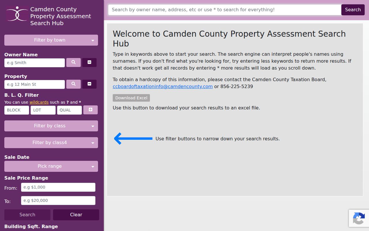
The Camden County assessment hub is the property tool used after postal validation. It is important to be explicit about its limit: there is no postal-code field. Town Filter, Property, Owner Name, and B.L.Q. are the relevant substitutes. The service also offers class, sales date, sales price, building-square-footage, and year-built filters. Those fields narrow parcel data, not a directory of all people associated with a postal area.
| County search field | Type | Use after ZIP validation | Boundary |
|---|---|---|---|
| Town Filter | Selector | Choose Winslow Township | Municipality, not a postal filter. |
| Property | Text | Enter the verified street or address-like string | Review property municipality in results. |
| Owner Name | Text | Find parcels tied to a known assessment owner | Owner field does not establish every occupant. |
| B.L.Q. | Block, lot, qualifier | Refine a selected parcel | Legal parcel locator, not a mailing label. |
| Postal-code field | Not available | Use USPS first, then the fields above | No ZIP-wide County property search was located. |
The assessment search screen shows the County fields that stand in for a postal-area filter.
For an incomplete public display, the Board of Taxation offers ownership verification, deed book and page verification, MODIV-link requests, special reports, and fee information. The municipal Assessor is the written-request route for a property card when block and lot are known.
Winslow Postal Geography
One location can carry several different kinds of address information. The situs or property location tells where the parcel lies. A tax mailing address, if a current card displays one, is a correspondence destination. A legal description, block and lot, or PIN ties the parcel to land records. A ZIP is a delivery marker. These are not interchangeable. A County deed search relies on party names and legal description, not the postal code printed on an envelope.
The Camden County myiDV viewer supplies the parcel side of the comparison with Address, Street, Owner, Block/Lot, and PIN searches.
Selecting a parcel makes Property Card and Parcel Profile Report available, which helps document municipality and legal placement after USPS verifies mail delivery. A current card should be opened to see which fields are populated for that parcel.
- ZIP
- A USPS delivery code. It does not draw a local-government boundary.
- ZIP+4
- An added delivery detail used with a ZIP for a more specific mailing destination.
- PO-box ZIP
- A postal code associated with post-office box delivery. The research does not classify every 08095 address this way.
- Carrier route
- A postal delivery grouping. It is not a parcel, ward, or municipal boundary.
Winslow ZIP History
Historic address work requires both postal and jurisdiction context. Camden County was formed in 1844, and Winslow Township was created from part of Gloucester Township in 1845. Older deeds can therefore belong under Gloucester County terms even when a modern postal address says Winslow, Atco, or another nearby label. The County Clerk’s electronic index begins in 1978, while State Archives and historical channels reach farther back. A missing online hit is not proof that an earlier parcel record is absent.
For a past address, capture the street, locality label, municipal name, and legal parcel terms exactly as found. Then compare it with the County GIS and historic-tax-map routes. This keeps a Blue Anchor, Braddock, Ancora, or Waterford Works reference from being flattened into an inaccurate modern ZIP label.
The State Archives lists Camden Clerk deeds from 1844 through 1900 and indexes from 1844 through 1912, while CCHS identifies a FamilySearch route for Camden deeds from 1844 through 1901. Those date bands describe record custody, not historic ZIP boundaries. Pair an old locality name with its period-appropriate county and a legal parcel reference before translating it into a current delivery address.
Winslow ZIP Code Boundaries
ZIP boundaries can cross municipal and county lines, change with delivery practice, and include special-use designations. The research did not locate an official Township-wide boundary polygon, a street-renumbering or E911-readdressing history, or a full USPS export for every delivery endpoint. Do not fill those gaps with a third-party boundary map or a claimed ZIP population. Verify the address through USPS, then establish its governmental location through the County parcel record.
Record boundary. Postal information is useful for delivery and address checking. It should not be used to identify, contact, or make assumptions about people connected to a particular address.
For records that cannot be resolved online, use the custodian rather than a postal guess. The County Board of Taxation has an OPRA and verification path for property-related existing records. Township street and zoning maps can be purchased from the Clerk, which is useful when a historic community label differs from the current parcel location. Note: An exact street address is more reliable than a broad ZIP label for every County property search.